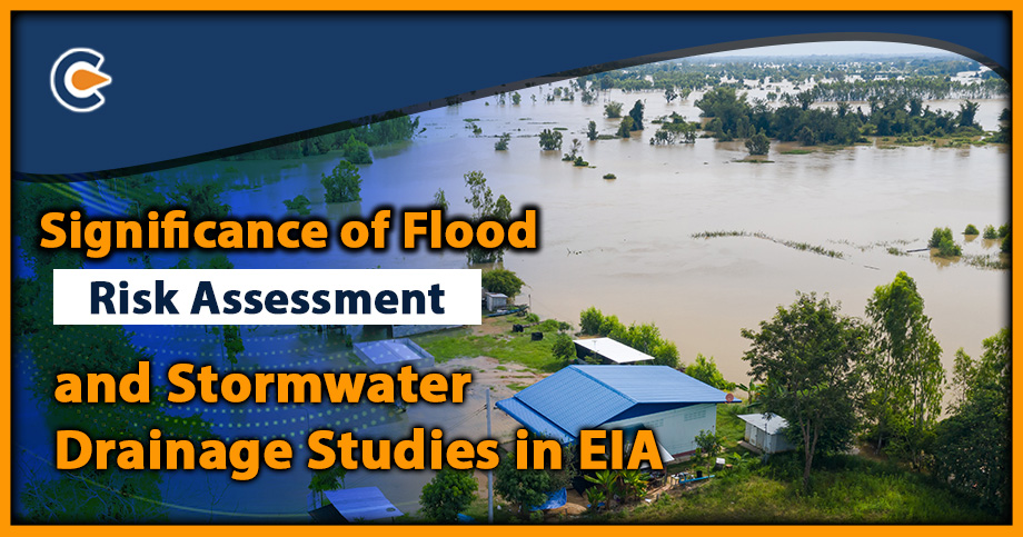
Flood risk assessment and storm-water drainage or management studies are essential for managing the impacts of natural force of floods, in the study area. And to assess whether the site in a flood prone area is suitable to riverfront development or not. The rapid urbanisation of cities has resulted in reduced infiltration of precipitation (rain, melted snow etc., which is known as “Storm-water”) in the ground. Stormwater runoff occurs when the stormwater falls over the infiltration surfaces that prevent the infiltration to the ground.
The runoff volume increases and causes flooding when it accumulates sedimentation, oil/grease, trash, waste material and other environmental matters. This pollutes the stormwater in the urban areas, which ultimately drains into the lakes and rivers, polluting these water bodies. The Stormwater management practice comes in place to control and use the stormwater runoff.
Green Infrastructure Solutions for Flood Risk Assessment
By implementing Green Infrastructure techniques for storm-water management, it is possible to mitigate flash flooding and lower the probability of flooding occurrences. The following green infrastructure techniques are available:
- Rain Gardens: These are depressions filled with plants that let rainwater seep into the ground.
- Bio retention Cells/Bios wales: These are depressions containing vegetation grown in an engineered soil mixture placed above a gravel drainage bed that captures and manage direct rainfall and runoff.
- Vegetative Swales: These are depressions with sloping sides covered in plants that help delay the conveyance of runoff and allow more time for infiltration into the native soil.
- Infiltration Trenches: These narrow gravel-filled ditches capture runoff and provide storage space and time for infiltration into the native soil.
- Green Roofs are similar to bio-retention cells but are located on rooftops and use vegetation to facilitate infiltration and evapotranspiration of stored water.
- Rooftop Disconnection: This practice diverts rooftop rainwater to previous landscaped areas instead of storm drains, allowing for storage or infiltration into the soil.
- Rain Barrels or Cisterns: These are used to store and reuse rainwater during dry periods and can be either above or below ground.
- Continuous Permeable Pavement Systems allow rainfall to flow through the pavement and into a storage layer below for slow seepage into the native soil.
Methodology of Flood Risk Assessment
These consist of the following methodology:
- Data Collection: The first step is to gather and evaluate data such as topography, land use, rainfall patterns, and flood history. This helps create a hydrological model for simulating and predicting the potential flood risks and their impacts.
- Identifying flood-prone areas: The hydrological model and other data identify areas susceptible to flooding. This can be done through various methods such as flood mapping, hydraulic modeling, and risk analysis.
- Evaluating flood risk: Based on the flood-prone areas identified, a risk assessment is conducted to estimate the potential losses due to flooding. This includes evaluating the risks to human life, property, and infrastructure.
- Developing mitigation measures: Once the risks are assessed, potential measures for mitigating the risks are identified. These may include structural measures such as building floodwalls and embankments or non-structural measures such as early warning systems and evacuation plans.
- Storm-water management: The study also evaluates storm-water management practices in the area to minimize the risk of flash floods and waterlogging. This may involve identifying and improving drainage systems, creating green spaces and retention basins, and implementing rainwater harvesting.
- Implementing the plan: Once the management plan is developed, they are implemented in a phased manner. This may involve collaboration between various stakeholders such as government agencies, urban planners, and local communities.
- Monitoring and evaluation: The flood risk and storm-water management plans are continuously monitored and evaluated for effectiveness, and modifications are made to ensure they remain relevant and practical.
Requirements for Flood Risk Assessment Studies
- Site details: Location of the project site, including its geographical coordinates, the extent of the site, and its boundary details.
- Topographical maps: Maps of the area, the contour lines, and the slope of the land are necessary for flood modelling.
- Land use details: The type of land use (e.g., residential, commercial, industrial, agricultural) is essential for identifying flood-prone areas and assessing risk.
- Rainfall data: Rainfall data for the project site is essential for hydrological modelling and predicting flood risks.
- Drainage details: Existing drainage systems in the area, including their capacity and condition, is necessary for identifying potential flood risks and developing mitigation measures.
- Structural and non-structural measures: The proposed structural and non-structural measures for managing flood risks and storm-water, including any proposed embankments, floodwalls, evacuation plans, and early warning systems.
- Project details: Information about the proposed project, including its scope, purpose, and timeline, is necessary for determining the potential impact of the project on flood risks.
- Previous flood records: Records of past flood events in the area are essential for assessing the flood risks and identifying potential measures to mitigate them.
- Environmental clearances: Clearance from the Ministry of Environment, Forest, and Climate Change or the State Pollution Control Board.
Regulations Governing Flood Water Assessment
The Regulations governing assessment of sites prone to natural forces are as follows:
- National Disaster Management Act, 2005: This act provides the legal framework for disaster management in India, including floods.
- National Disaster Management Authority Guidelines: These guidelines provide a comprehensive framework for flood risk assessment, including data collection, modelling, risk analysis, and mitigation measures.
- Environmental Impact Assessment (EIA) Notification, 2006: The Environmental Impact Assessment notification requires that projects with potential environmental impacts, including flood risks, undergo an environmental impact assessment before approval.
- National Green Tribunal (NGT): The NGT is responsible for adjudicating environmental disputes and enforcing environmental laws in India, including those related to flood risk assessment and mitigation.
- State-level regulations: Different states in India have their own rules and guidelines for risk assessment and management, such as the Maharashtra State Disaster Management Plan and the Tamil Nadu Flood Management Authority.
Components of Water Management Studies
The following table highlights the various aspects that are taken into account at the time of Flood Risk Assessment and stormwater management studies
| Aspect | Description |
| Objective | To assess and manage the impacts of storm-water runoff on urban areas, including flooding, erosion, and water quality issues. |
| Regulatory Framework | Several regulations, including the National Building Code, Environmental Impact Assessment Notification, and State-level regulations, guide storm-water management studies in India. |
| Data Collection | Storm-water management studies collect data on rainfall patterns, land use, topography, drainage systems, and soil characteristics. |
| Modelling | Modelling is used to simulate storm-water runoff and predict the impacts of various management strategies. |
| Best Management Practices | Storm-water management studies recommend a range of best management practices, including green infrastructure, rainwater harvesting, and permeable pavements. |
| Structural Measures | Structural measures, such as retention ponds, ditches, and drainage channels, may be recommended to manage stormwater runoff in urban areas. |
| Non-Structural Measures | Non-structural measures, such as public education campaigns and land use planning, may also be recommended to manage stormwater runoff. |
| Implementation and Monitoring | Implementation of storm-water management measures may require collaboration between different government agencies, and ongoing monitoring is recommended to evaluate effectiveness. |
Conclusion
In India, these studies are guided by a regulatory framework that includes national and state-level regulations, best management practices and structural and non-structural measures. Both flood risk assessment and storm-water management studies require a comprehensive and multidisciplinary approach involving collaboration between government agencies and stakeholders. They require ongoing monitoring to evaluate the effectiveness of the measures implemented. It is recommended to take expert advice during Flood Risk Assessment to comply with all regulations and avoid any legal penalty.
Read Our Article: Environmental Clearance Process In India: A Complete Outlook


